PRO AERIALS
Colorado’s Front Range low cost surveys, LiDAR, security and Thermal imaging.
Low Cost operations, instant results and storage!
Property surveying
SECURITY surveys and audits
Arborism examinations
Industrial level surveying
Travel to any site in Colorado
PART 107 FAA licensed operators
Services we offer:
-
THERMAL
Wildfires demand faster, smarter decisions and traditional methods can’t keep up. Our aerial thermal imaging gives you a decisive edge by revealing hidden heat, early ignition risks, and high fuel load areas before they become disasters. Instead of broad, costly mitigation, you get precise, actionable data to target exactly where it matters: reducing risk, cutting costs, and keeping crews out of danger. During active fires, our thermal cameras see through smoke and darkness, delivering real-time intelligence for better, faster decisions. After the fire, you’re left with clear, data-driven insights for damage assessment, reporting to insurance, and recovery planning.
-
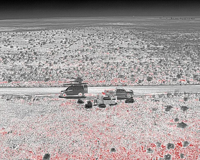
SECURITY
Our aerial based security transforms surveillance from reactive to proactive. Equipped with advanced 1.60x zoom cameras, we provide live or recorded aerial monitoring with unmatched visibility, eliminating blind spots and covering large areas faster than traditional security systems.
Combined with high-precision 3D modeling based on LiDAR technology and intent tracking technology, our surveys can identify vulnerabilities, detect suspicious behavior, and improve response times before threats escalate. From critical infrastructure to private properties, our security service delivers smarter monitoring, faster decisions, and a level of situational awareness conventional systems cannot match.
-
ARCHAEOLOGY
Drones equipped with LiDAR cameras are transforming archaeology by capturing detailed images beyond visible light, revealing hidden archaeological features such as buried structures, roads, and perimeter walls that are otherwise invisible to the naked eye. This technology aids in non-invasive site exploration and mapping, enhancing archaeological research and preservation efforts, plus allowing expeditions and scientific endeavors to be more time and cost efficient.
-
MARKETING: SPORTS AND RECREATION
Our drones are revolutionizing sports and recreation by capturing dynamic aerial footage of events such as races, competitions, and outdoor activities. We provide immersive perspectives that enhance spectator experiences and offer athletes valuable insights for marketing assets, performance analysis and training.
-
EVENTS
Our services add a cinematic dimension to your events through professional aerial photography and videography, capturing sweeping views of ceremonies, venues, and celebrations. We deliver unique perspectives and high impact visuals that elevate your event memories into timeless, quality moments.
-
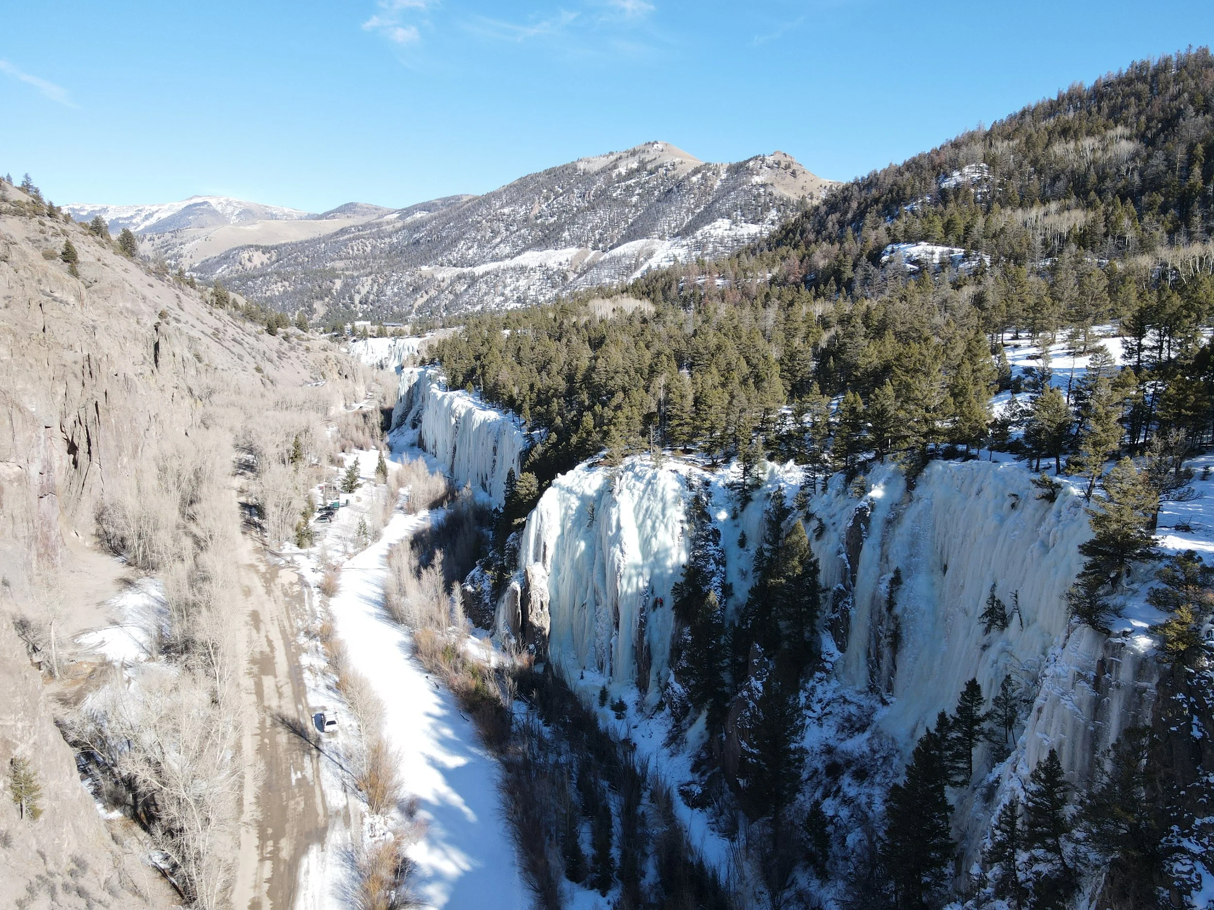
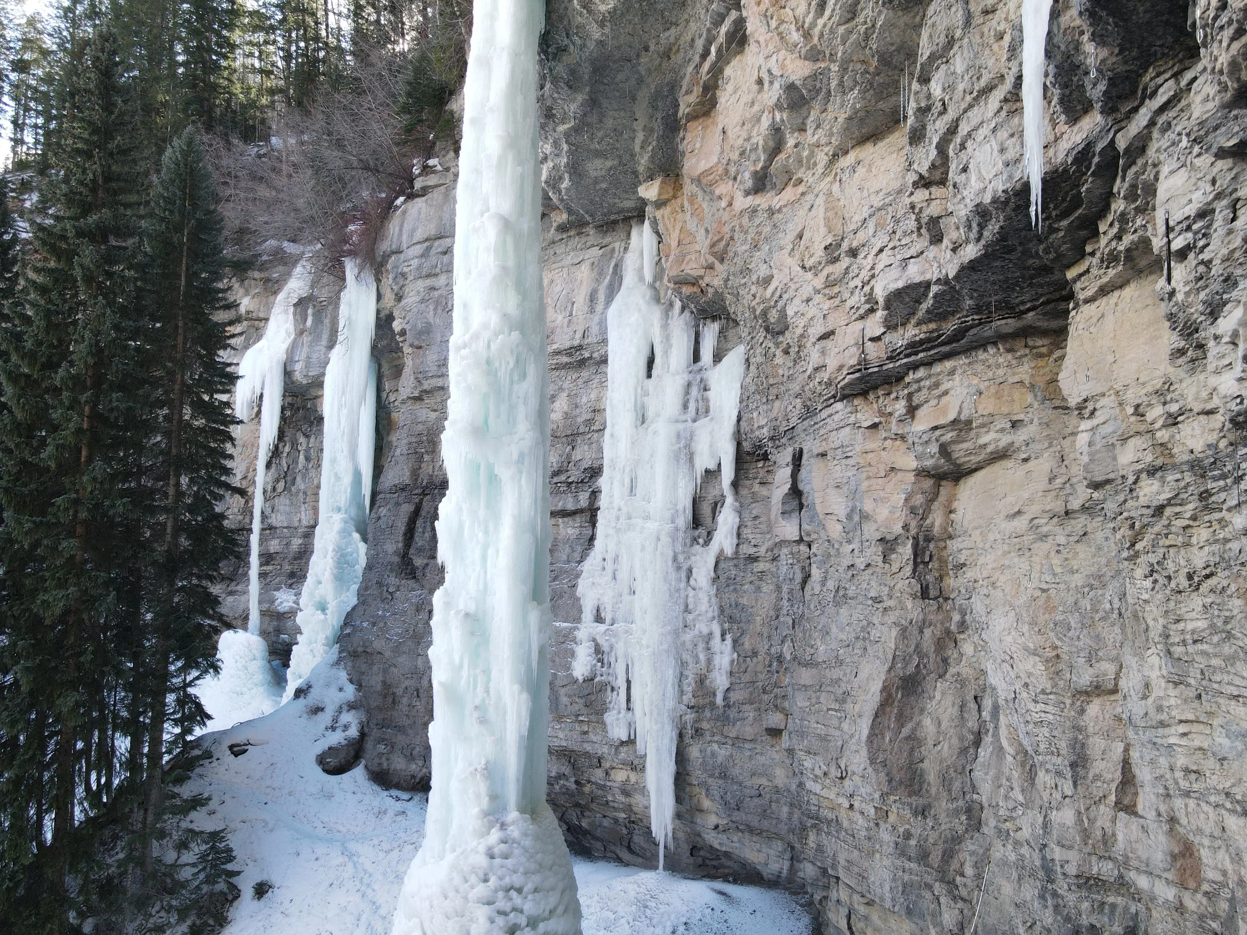
EXPEDITION READY
No terrain is too hostile. No location is too remote. Our team leader is prepared to deploy anywhere in the world to deliver advanced LiDAR technology directly to the environments where precision matters most. From dense forests and rugged mountain ranges to disaster zones and undeveloped terrain, we bring cutting edge aerial mapping, 3D modeling, and high accuracy photogrammetry to places others cannot reach.

SECURITY
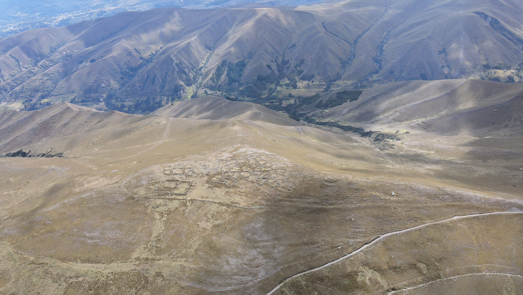
Archaeology


LiDAR Technology
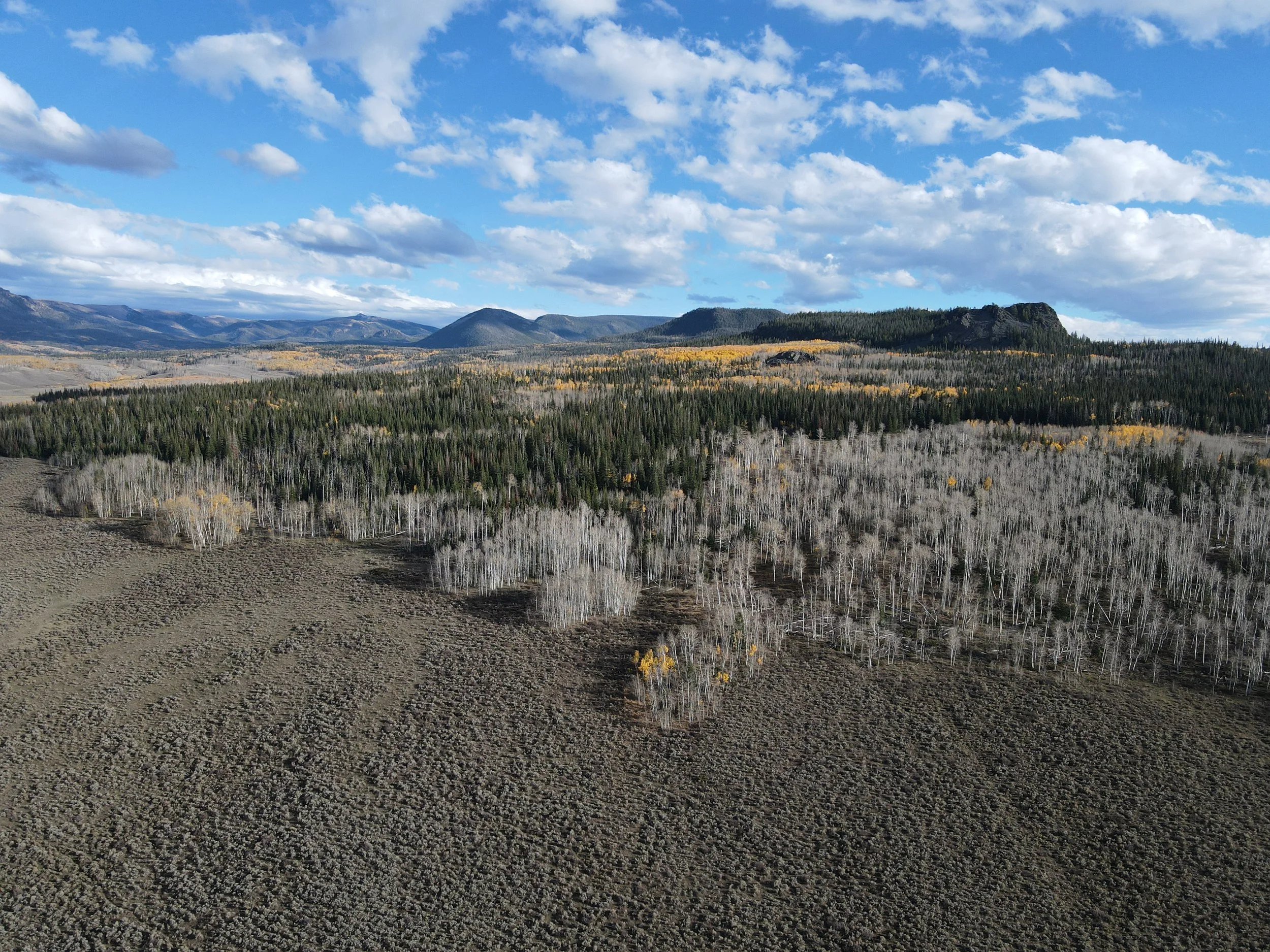
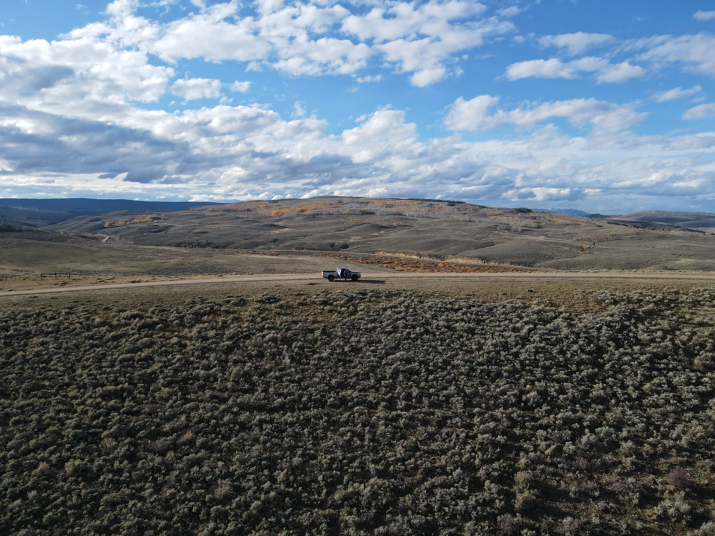
Forestry decisions are only as good as the data behind them and most data still misses what matters beneath the canopy. Drone based LiDAR changes that by delivering precise, 3D measurements of terrain, vegetation structure, and assets that traditional imagery simply can’t capture.
With LiDAR, you’re not estimating, you’re measuring. Penetrating dense canopy, it reveals ground elevation, tree height, biomass, and fuel loads with survey-grade accuracy. That means better forest inventories, smarter thinning plans, and more effective wildfire mitigation based on real structure.
Beyond forestry, the value multiplies. LiDAR enables high-precision topographic mapping for construction and land development, accurate corridor mapping for utilities, and detailed volumetric analysis for mining and earthworks. What used to take weeks of fieldwork can now be completed in hours, with safer operations and far richer datasets.

Sports & Recreation